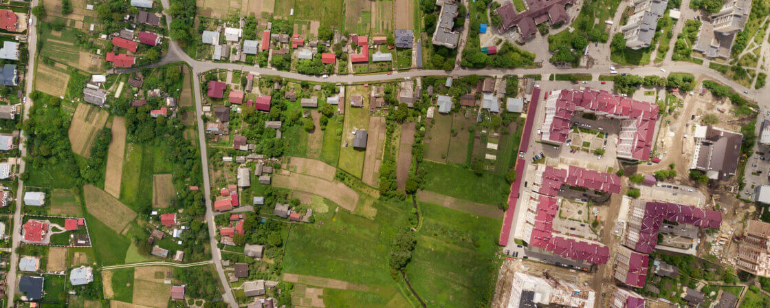
What is a cadastral area?
A cadastral territory is the basic territorial unit of the cadastre of real estate. It is an officially designated area in which real estate and its ownership relations are registered. Each cadastral territory has its own name (e.g. Brno-City, Hostivař, Dolní Lhota) and a unique code.
These territories are typically smaller than municipalities. One municipality may include several cadastral territories, or one cadastral territory may be spread over several municipalities (but this is rather rare). Within each cadastral territory, parcels, buildings and other components of real estate are registered.
Why is it important to know the cadastral territory?
Knowledge of the cadastral territory plays an important role in a number of legal and administrative situations related to real estate. For example, if you need to consult the Land Registry to find out who owns a certain piece of land, you will not be able to access the information you need without the correct cadastral territory. This knowledge is also essential when preparing purchase contracts and verifying them with the cadastral office – the correct designation of the cadastral area is essential for the smooth running of the entire process. Similarly, when valuing land, for example for the purposes of calculating the real estate tax, it is necessary to know exactly which cadastral area a given parcel falls into. Last but not least, the cadastral territory is also used in inheritance proceedings where the value of property is assessed, and the correct identification of the territory facilitates the processing of these agendas.
Are you solving a similar problem?
Do you need advice on land valuation or property transfer?
We are also happy to help you with legal matters relating to your property. Contact us to ensure a legally flawless process.
More information
- When you order, you know what you will get and how much it will cost.
- We handle everything online or in person at one of our 6 offices.
- We handle 8 out of 10 requests within 2 working days.
- We have specialists for every field of law.
What is the average price of agricultural land and where is it used?
The average price of agricultural land is the officially determined value of land by cadastral area. It is not the market price at which land would be sold on the open market, but an administrative value set by the Ministry of Agriculture.
The average prices from the decree are mainly used for property tax or where there is no BPEJ, as well as for inheritances.
The average price (average basic price of agricultural land) is the official amount allocated by the state to a cadastral area for tax purposes. Its value is derived from the bonified soil-ecological units (BPEJ). It is an administrative variable that serves as the basis for property tax. It is not a market assessment.
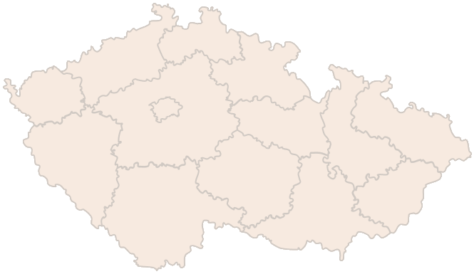
List of cadastral areas with assigned average prices of agricultural land
The Ministry of Agriculture publishes the official list of cadastral areas with assigned average prices of agricultural land. In the table you can find the average price for the given cadastral area in CZK/m2. Prices can vary considerably depending on location, soil quality and other factors.
It is very important to note that the average price by cadastral area is not the same as the real price at which the land can be sold. The market price depends on many factors such as the current demand in the area, the size of the plot, the accessibility of the land, the possibility of future construction use or the soil ecological unit (BPEJ). For example, a field near Prague may have an average price of CZK 8/m², but it will sell on the market for CZK 80 or 100/m².
According to the Act on Valuation of Property, the normal (market) price is the price that could have been achieved by selling the same or similar property in the ordinary course of business at the valuation date. It is the fair price that would be accepted by an informed buyer and seller in the open market. It is used, for example, in expropriation, inheritance or donation.
How to find out the cadastral area of your land?
If you want to find out what cadastral area your land falls under, the easiest way is to use the online service “Looking into the Cadastre” operated by the Czech Land Registry Office. This publicly available application allows anyone to obtain basic information about real estate registered in the cadastre free of charge.
When you open the website of this service, you will have several options to search for a specific piece of land. You can enter the parcel number, the name of the municipality or even the district where the property falls. If you have the number of the title deed (LV), you can also use it for a more precise data retrieval. After entering this data and searching for the record, you will see a listing with information about the property.
This listing also includes, among other things, the cadastral area in which the property is located. This name is unique in the system and its knowledge is important for other legal transactions such as filing a petition for registration, valuation of the property or verification of ownership.
Tip for article
Tip: Planning to buy a property? Whether it’s a house, a summer cottage or an apartment in the city, read our article and see what to check before buying a property.
When do you need to know the average price by cadastral area?
Knowing the average price of land by cadastral area can be crucial in a number of situations where you need to estimate or determine the value of a property, even in cases where there is no traditional sale. Typically, it is necessary to know this price, for example, in the case of a gift of land, where the so-called normal value of the gift is determined. Although no purchase price is paid for the donation, the tax office may still take this value into account, for example when calculating income tax or assessing gratuitous transfers.
Another case where knowledge of the average price by cadastral area is useful is in probate proceedings. The notary in charge of the probate process needs to know at least the approximate value of the property in order to be able to correctly distribute the inheritance among the heirs, to determine the amount of the fee, or to correctly assess whether it is necessary to deal with the probate process in full.
Similarly, knowledge of these values may be important in the case of the entry of land into the community of property or other property settlements, such as divorce or property settlements between relatives. The average price by cadastral area serves as a basis for assessing the real value of the land and can significantly influence the terms of the division of property.
Last but not least, these data are also used in land-use planning or in land transfers between municipalities, regions or state institutions. Here, the average price serves as one of the reference points that helps to establish the objective value of the property being transferred, thus contributing to the transparency and fairness of the whole process.
What else affects the value of the land?
In addition to the average price by cadastral area, the so-called Bonito Soil Ecological Unit (BPEJ) plays a key role. This reflects the type of soil (arable, meadow, pasture), the climatic region, the slope, the depth of the soil profile and the skeletonisation (presence of stones in the soil).
Each BPEJ has a point value, which can increase or decrease the price of land considerably. BPEJ prices are also available on the Ministry’s website.
Tip for article
Tip: What if someone other than the actual owner is registered in the cadastre? Or if the size of the land does not match the land registry? Resolve the discrepancy in the land registry before you want to sell the property, for example.
Summary
The cadastral territory is the basic unit in which the state registers real estate and its owners and has a major influence on the valuation of agricultural land. Average land prices by cadastral area, as determined by the Ministry of Agriculture, are used in a number of legal situations – in inheritance, property settlements, and land transfers between public institutions. Although not a market price, these data provide an important framework for assessing the value of land. The actual value may then vary depending on other factors such as the soil-ecological unit (BPEJ), location, size and usability of the land. Up-to-date information on cadastral area and prices can be found online via the Land Registry Insight service.